Methodology Framework
The Science Behind Finding Water Before You Drill™
When it comes to finding a reliable groundwater source, we don’t guess — we use science to accurately determine the highest probability area.
HydroScan™ follows a structured multi-stage geophysical workflow designed to transform raw subsurface signals into actionable drilling intelligence. Here’s a look at how this method works.
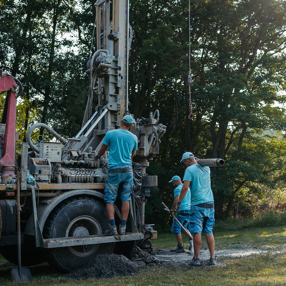
Data Acquisition — Field Signal Collection
HydroScan™ begins with electromagnetic and magnetotelluric measurements collected at the surface. This stage captures natural and induced electrical signals from the subsurface to reveal variations in geological structure.
This method of signal collection allows us to detect resistivity changes, identify conductive zones, and map subsurface anomalies.
Subsurface Imaging — Resistivity Modeling
After data is collected, it’s converted into resistivity profiles and subsurface models. These visualizations help reveal geological layers, structural boundaries, and potential water-bearing formations.
Geological Interpretation
The geophysical results are combined with regional hydrogeology, nearby well records, formation knowledge, and engineering experience to ensure the highest probability water source. This step converts imaging into meaningful groundwater insight.
Target Modeling & Risk Analysis
Once the results are in, HydroScan™ also identifies the recommended drill target zones, estimated depth range, and geological risk classification. Through this risk analysis, we learn where to drill and which areas to avoid.
Engineering Report Delivery
Instead of going into well drilling blind, you now receive a full engineering report, which includes the executive HydroScan™ evaluation, visual subsurface imaging, targeting recommendations, and drilling strategy guidance. This allows you to begin your drilling project with confidence.
Why Does This Framework Matter?
The HydroScan™ framework matters because it’s more accurate than other methods. Most groundwater drilling relies on nearby wells, outdated reports, trial and error, or surface observation. However, these factors alone can lead to inaccurate assessments. You may invest the money for well drilling, but receive no return if water isn’t found.
HydroScan™ replaces guesswork with a structured geophysical methodology similar to processes used in large-scale exploration industries. The HydroScan™ Methodology Framework helps reduce uncertainty and supports data-driven decisions before drilling begins.
Schedule your HydroScan™ survey today to find the highest probability water sources on your land.