FAQs
Got Questions? We Have Answers
Before you invest in a HydroScan™ survey, you may have questions about how we reduce drilling risk and ensure a productive well is drilled every time. Below are answers to the most common questions from landowners, builders, and drilling contractors.
What is HydroScan™?
HydroScan™ is an advanced groundwater targeting system using electromagnetic and magnetotelluric geophysical methods to analyze subsurface electrical resistivity. Since ground-water bearing formations have different properties from dry materials, this allows us to identify areas where groundwater can be found.
Is this technology real science?
Yes. HydroScan™ geophysical methods are widely used in other industries such as oil and gas exploration, mineral resource exploration, helium exploration, and geological research and mapping. HydroScan™ adapts these scientific principles specifically for groundwater exploration.
How does HydroScan™ detect groundwater?
Groundwater-filled formations often have different electrical properties compared to surrounding dry materials. HydroScan™ measures subsurface electrical resistivity variations and identifies conductive anomalies that may correlate with groundwater pathways or aquifer zones.
Can you guarantee water?
No technology can guarantee groundwater because natural geology varies. However, our technology is highly accurate and effective. HydroScan™ interpretation has demonstrated approximately 85–90% targeting accuracy in identifying conductive geological features associated with potential groundwater zones when interpreted by experienced professionals. This significantly reduces risk compared to drilling without geophysical targeting.
Why is accuracy not 100%?
Subsurface geology is naturally complex. Factors affecting results include geological variability, formation heterogeneity, aquifer connectivity, drilling execution. Despite our technology not being a guarantee, HydroScan™ reduces uncertainty and risk — it does not eliminate natural geological variability.
Why not just drill based on nearby wells?
Nearby wells alone do not provide enough subsurface information. Groundwater conditions may change dramatically across short distances. HydroScan™ provides subsurface data to guide decisions rather than relying on guesswork.
Is HydroScan™ worth it?
Drilling a dry or low-yield well can cost significantly more than investing in geophysical targeting first. Instead of investing in drilling without checking for groundwater, using HydroScan™ helps to reduce drilling risk, improve targeting accuracy, and avoid unnecessary drilling costs.
What do I receive after the survey?
After the survey is complete, you receive a professional HydroScan™ evaluation report including subsurface visualization, recommended drill target zone, estimated depth range, geological risk classification, and engineering interpretation. You can then use this data to make evidence-based decisions before you drill.
How long does the process take?
Scheduling depends on availability. Our field surveys are followed by data analysis and report preparation.
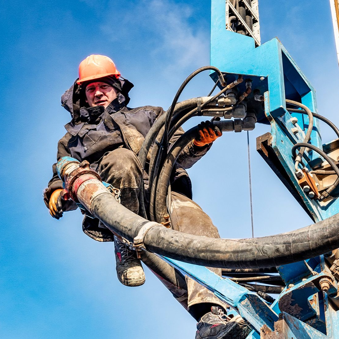
Do I still need a drilling contractor?
Yes. HydroScan™ identifies where and how deep to drill — licensed drilling contractors, such as our team at Arizona Well Drilling, perform the well construction.
Why is HydroScan™ different from traditional water finding?
Traditional methods often rely on guesswork, surface observation, or nearby wells only. The data used is often outdated and not the most accurate. HydroScan™ uses geophysical subsurface imaging inspired by the exploration industry methodologies.
Reduce Risk Before You Drill
Instead of basing your drilling decisions on outdated data, get the most up-to-date information with a HydroScan™ survey. Schedule yours today and start making data-driven decisions.