HydroScan Technology
We Help You Find Water Before You Drill™
HydroScan™ is an advanced geophysical groundwater targeting system powered by Blue Core Geo. It uses electromagnetic and magnetotelluric survey methods to analyze subsurface electrical resistivity and identify conductive geological zones commonly associated with groundwater-bearing formations. Simply put, we can accurately target the water source before drilling begins.
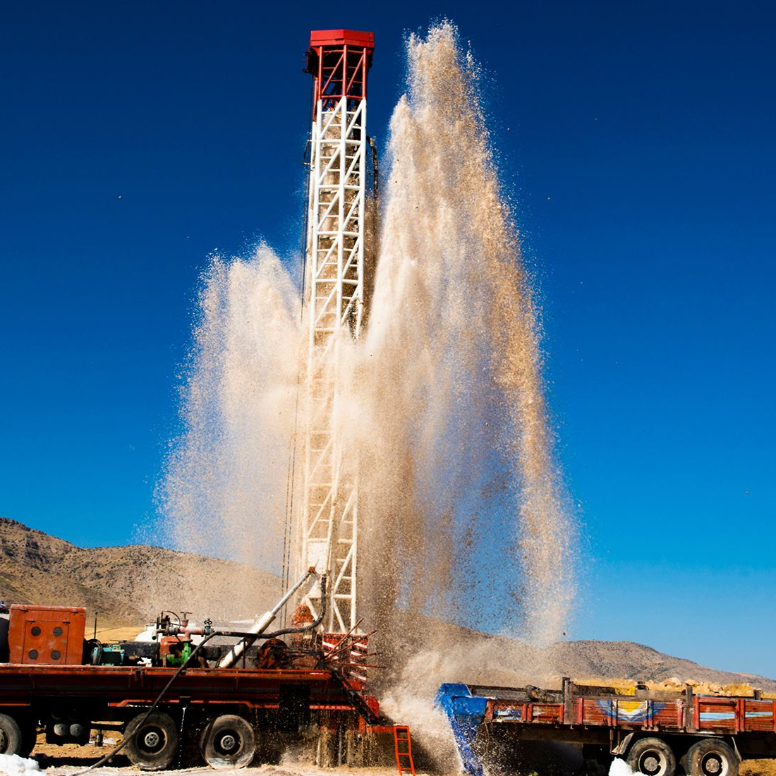
The HydroScan™ method is highly accurate and adapted from technologies used in oil, mineral, and energy exploration industries to reduce drilling risk before excavation begins. Instead of spending over $30,000 on well drilling only for it to come up dry, we ensure you find groundwater first.
What Is HydroScan™ Technology?
HydroScan™ technology allows us to see below the surface from anywhere — locating groundwater and removing the guesswork from drilling. We do this by measuring naturally occurring and induced electromagnetic signals in the Earth.
By analyzing these signals, HydroScan™ can identify:
✅ Conductive zones
✅ Subsurface structural features
✅ Potential water-bearing formations
✅ Geological boundaries
Groundwater-filled formations often exhibit different electrical properties compared to
surrounding dry rock or compacted sediments, which allows us to target these properties from anywhere.
How HydroScan™ Works
Engineering Interpretation
Professional evaluation identifies potential drill targets and risk zones.
What Makes HydroScan™ Different From Other Technologies?
When you hire a well driller, their assessment of where to find groundwater is often based on outdated records. Without a system that accurately locates a water source, you’re taking a major risk when drilling for water. HydroScan™ technology stands out because it offers:
- Engineering-driven analysis
- Advanced geophysical methodology
- Integration with real-world drilling knowledge
- Professional reporting designed for decision-making
Our technology takes the guesswork out of drilling, ensuring you find water the first time.
When Should You Use HydroScan™?
HydroScan™ is used by land and property owners in various industries. If you’re wondering when the right time to schedule your survey is, HydroScan™ should be used:
Before drilling a new water well
When nearby wells show inconsistent performance
During high-cost drilling projects
When facing remote or uncertain geology
Drill Smarter. Reduce Risk.
Schedule a HydroScan™ geophysical survey and identify groundwater potential before drilling begins.